Satellites, algorithms and big data: this is how maritime meteorology innovates

The beginning of digitalization
In the 1990s, the generalization of electronic devices allowed the development of automatic digital data storage and measurement equipments. In 1996, the Port of Barcelona installed its first 2 automatic meteorological stations, followed by other stations located in sensitive points of the particular orography of the Catalan capital’s port, which due to its exposure to elements such as wind or rainfall, pose a threat to port activity, security and navigation.
In this century, the development of telecommunications networks and mobile telephony has enabled real-time connectivity for all of them.
What do ground weather stations measure?
These ground stations measure variables such as wind speed and direction, air temperature, relative humidity or rainfall using sensors such as anemometers, resistance thermometers, hygrometers or rain gauges. The information they gather, as explained by Joaquim Cortés, responsible for the Atmospheric Environment of the Port of Barcelona, is transmitted and displayed as follows: “Each station has a data acquisition and processing unit (datalogger) that converts the signals provided by the sensors into digital data that is averaged with a pre-established periodicity and stored in its internal memory.”
This is how data is collected in real time
At the same time, on the Port's meteorological data server, a resident application maintains continuous communication with the data loggers, periodically consulting and collecting the available data. "This communication is online and in real time and is carried out through all telecommunication channels available: fiber optics, GPRS mobile telephony, Wi-Fi radio links or direct connection," Cortés continues.
The all-seeing eye
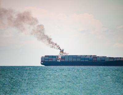
However, for the management of port operations, it is not enough to know what is happening, but any forecast must anticipate the future. Meteorological predictions made with computational models require precise information from vast areas of territory, including the sea.
International meteorological centers such as the European Center Medium Weather Forecast (ECMWF) or the National Oceanic and Atmospheric Administration (NOAA) provide information on a global scale that is fed with the only data source capable of covering these extensions: satellites.
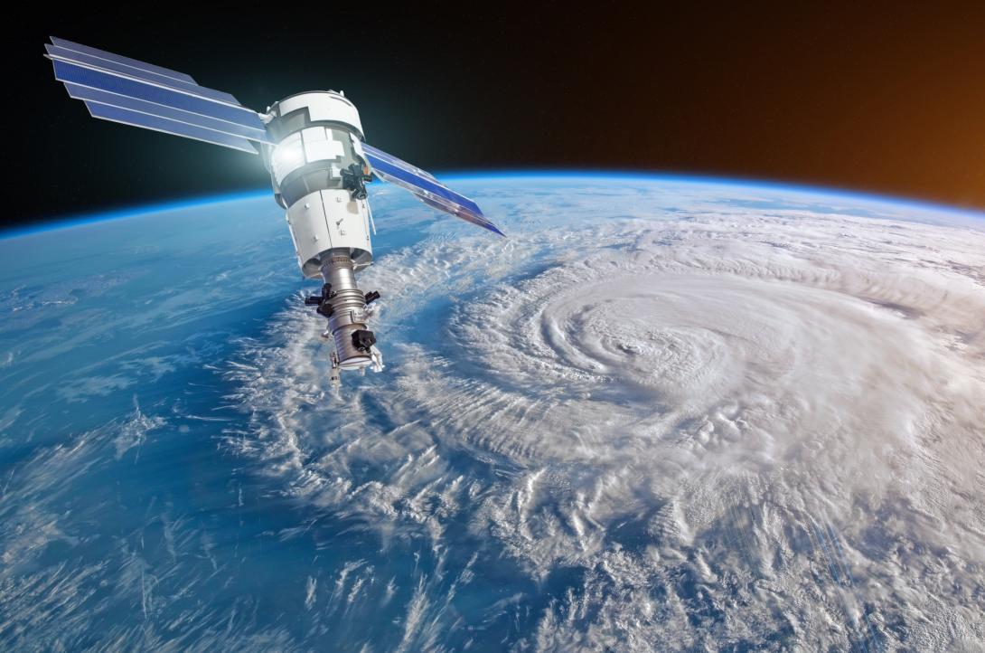
Jason-C and the forecasts that can prevent millionaire losses
Satellites are gaining great importance in weather forecasting, especially in relation to the state of the sea. The new models of the European Organisation for the Exploitation of Meteorological Satellites (EUMETSAT) such as the Jason-CS program, seek to be more precise to avoid the damage caused, for example, by the storm Niklas, which in 2015 left an bill for a value of 3.9 billion euros in Belgium, France, Germany and the Netherlands.
The Jason-CS program, which has the participation of Puertos del Estado, the State-owned Spanish Port System, launched a first satellite in 2020 and a second one is scheduled for 2026, configuring two high-precision devices that will make it possible to assess the rate of global warming and provide data on wave height and wind speed; valuable information for forecasting and marine meteorology activities.
In addition to meteorological satellites, there are other satellites with different purposes (telecommunications, GPS positioning), which are the subject of research projects to determine if they can be useful for other meteorological functions.
Wave monitoring
One of the pilots of the Eurosea project includes the development of a wave monitoring system in the port environment which takes advantage of GPS satellites. “The satellites of the GPS constellations send signals to the ground antennas that can be processed with algorithms to obtain the roughness of the water and the height of the waves in a large area around the antenna. Through an indirect treatment based on the state of the sea, the wind speed can be calculated,” explains Cortés.
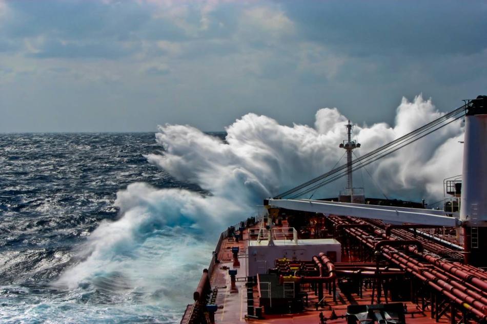
Satellites substantially improve data capture traditionally done with sensors placed on buoys, susceptible to being displaced from their initial position in the event of a storm and therefore diluting their reliability.
“Short-term errors are becoming smaller and the ability to extend the forecast further in time is increasing. However, there is a natural limit since the atmosphere is a chaotic dynamic.”
Enrique Álvarez Fanjul, head of the Physical Environment Area of Puertos del Estado.
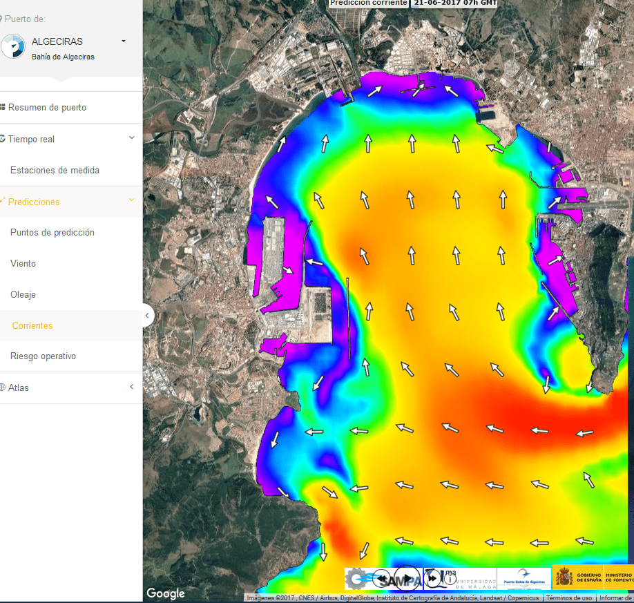
The SAMOA Project, one step further
Presenting all this data in a way which is understandable for users and the general public is the next challenge to be addressed. Within the SAMOA Project (Meteorological and Oceanographic Support System of the Port Authority) of Puertos del Estado, with 25 state ports, one of the modules developed is the Environmental Command Center (CMA, by its Spanish acronym), a platform that displays meteorological predictions and real-time monitoring, in a Geographic Information Systems environment.
Each participating port receives, every twelve hours, a high resolution weather forecast model from the State Meteorological Agency (AEMET, by its Spanish acronym) with a quality that has passed from 10 km to 1 km and which now covers the port and its closest surroundings.
Enrique Álvarez Fanjul, head of the Physical Environment Area at Puertos del Estado, explains the evolution of the system: “it is not a shift in paradigm but a continuous advance, in which numerical methods and observations have been improving. Short-term errors are decreasing and the ability to extend the forecast further in time is increasing. However, there is a natural limit since the atmosphere is a chaotic dynamic and predicting with uncertainty beyond a few days seen is impossible."
An increasingly precise calculation mesh
Álvarez shares that the system is in the process of further refining this initial calculation grid where predictions are displayed. In the next year and a half, the distance will be reduced to 200 meters thanks to models that consider more complete equations, and that they are capable of rendering them at a higher spatial resolution.
"If we talk about innovation, the most interesting factors are the systems that enable this data to be converted into information, in traffic light alarm systems that facilitate wind speed according to thresholds set by the user, and the ability to apply atmospheric dispersion models currently under development,” he continues.
After two years working with forecasts at 1 km, there are still questions to be resolved. The main one is to establish the alert activation system for wind episodes, as the values are sometimes variable and can exceed or undermine the alert threshold, making decision-making difficult. “We have been thinking about how to manage this information. For example, defining the number of times the threshold must be exceeded to trigger an alert. At the moment, it is something we are studying, ” says Cortés.
Álvarez believes that SAMOA is designed to solve challenges “that are changing as they are becoming more interdisciplinary,” since the different modules offered by the system are pieces that have to be integrated into successively larger puzzles. Today, the solution to predict the weather is in the sky.